Map & elevation profile
Gravel route Strabrechtse Heide, Maarheeze and Leenderbos GPX
| name: | no data |
| distance: | no data |
| minimum elevation: | no data |
| maximum elevation: | no data |
| elevation gain: | no data |
| elevation loss: | no data |
| duration: | no data |
Submitted by Mike Roodvoets, A cyclist from our community
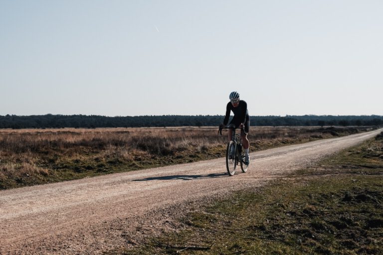
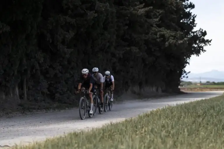
A flat gravel course of almost 50 kilometers that combines the Strabrechtse Heide with the forests and moors to the south. Mike Roodvoets rode it and sent it to us. From De Strabrechtse Hoeve you drive over the heath to Sterksel and Maarheeze, and via Soerendonk to Leenderstrijp. Then follows the Leenderbos, against Valkenswaard, and via Heeze and Geldrop you return to the start.
On the way
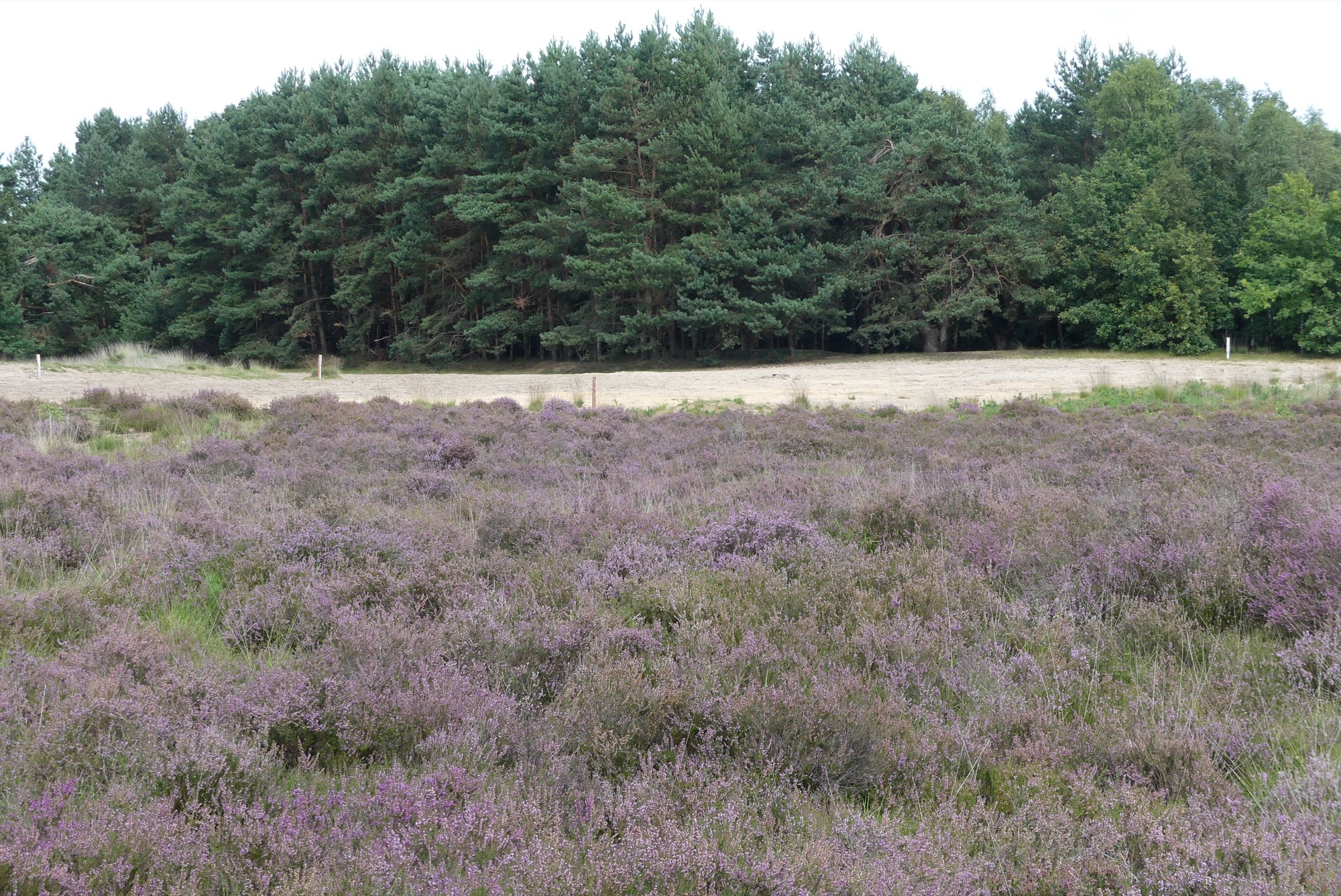
- The Strabrechtse Heide at the beginning, after just a few kilometers you reach the Heide Café on the west side of the heath.
- Sterksel and Maarheeze: forest paths and country roads in the south of the Kempen.
- The Leenderbos Between Leende and Valkenswaard: long, straight forest paths and open meadows.
Good to know
The start and finish are at De Strabrechtse Hoeve on the Heezerweg, on the edge of the heath between Geldrop and Heeze. There you can also have a coffee afterwards. There are hardly any elevation changes, but the sandy paths on the heath can become loose and muddy after a dry period. Wide tires (40 mm or more) are best for driving here.
More bicycles in this province? Check out our page about Cycling in North Brabant.
This route was driven by Mike Roodvoets and submitted through our community. Do you have a route you're proud of too? Send him in.