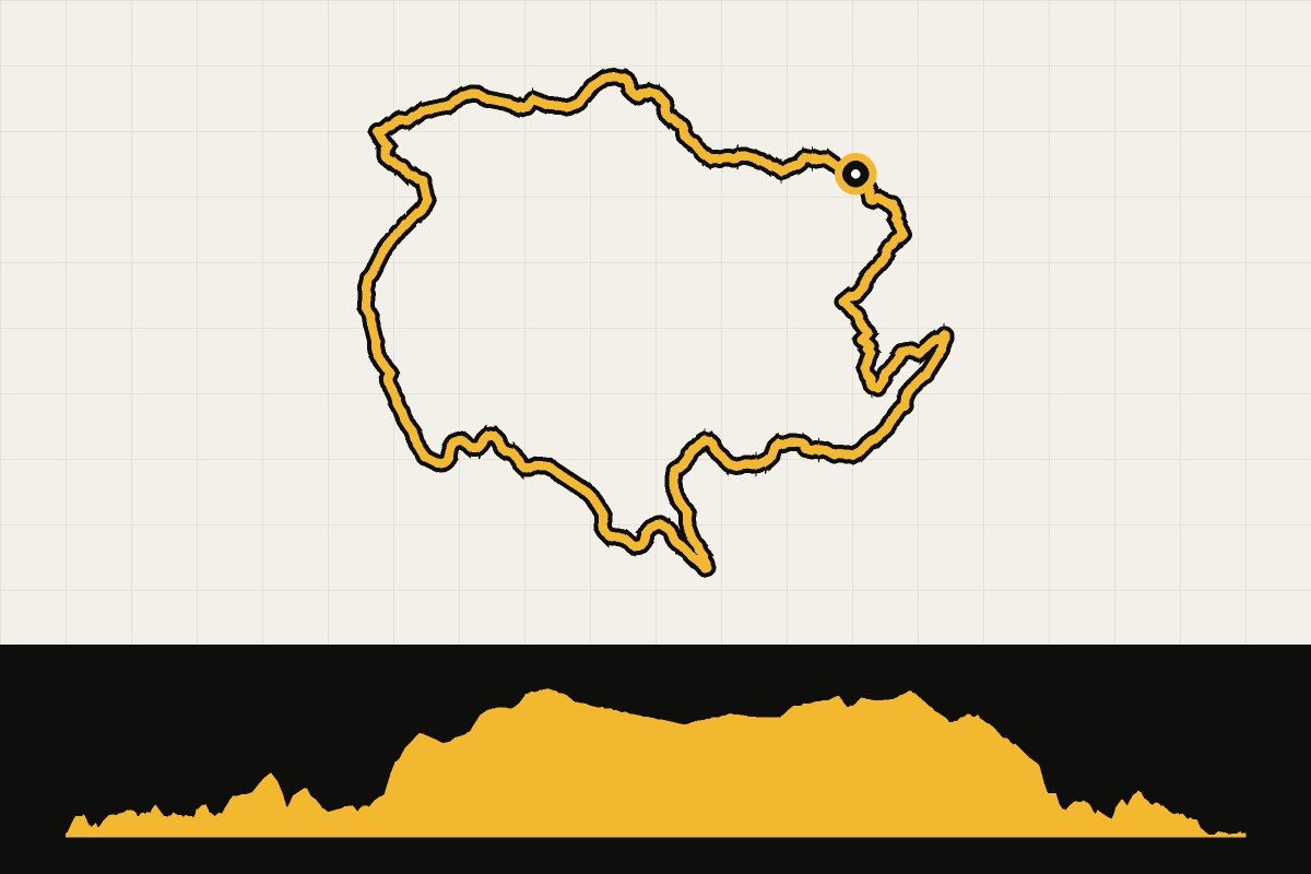
Map & elevation profile
North York Moors: Blakey and Fryup Gravel Explorer GPX
no elevation data
| name: | no data |
| distance: | no data |
| minimum elevation: | no data |
| maximum elevation: | no data |
| elevation gain: | no data |
| elevation loss: | no data |
| duration: | no data |
From Danby Lodge in the Esk Valley, follow quiet roads and NCN 165 towards Kildale, then a steep climb up the hill to Blakey Ridge. From there, follow the old railway track across the plateau to The Lion Inn, and via sections of the Coast to Coast back through Fryup Dale. Beautiful champagne gravel; choose a clear day, as you’ll be exposed for a long time at the top. Also accessible via the Esk Valley Railway. Level: difficult. Route and GPX: North York Moors National Park.
Source: northyorkmoors.org.uk.