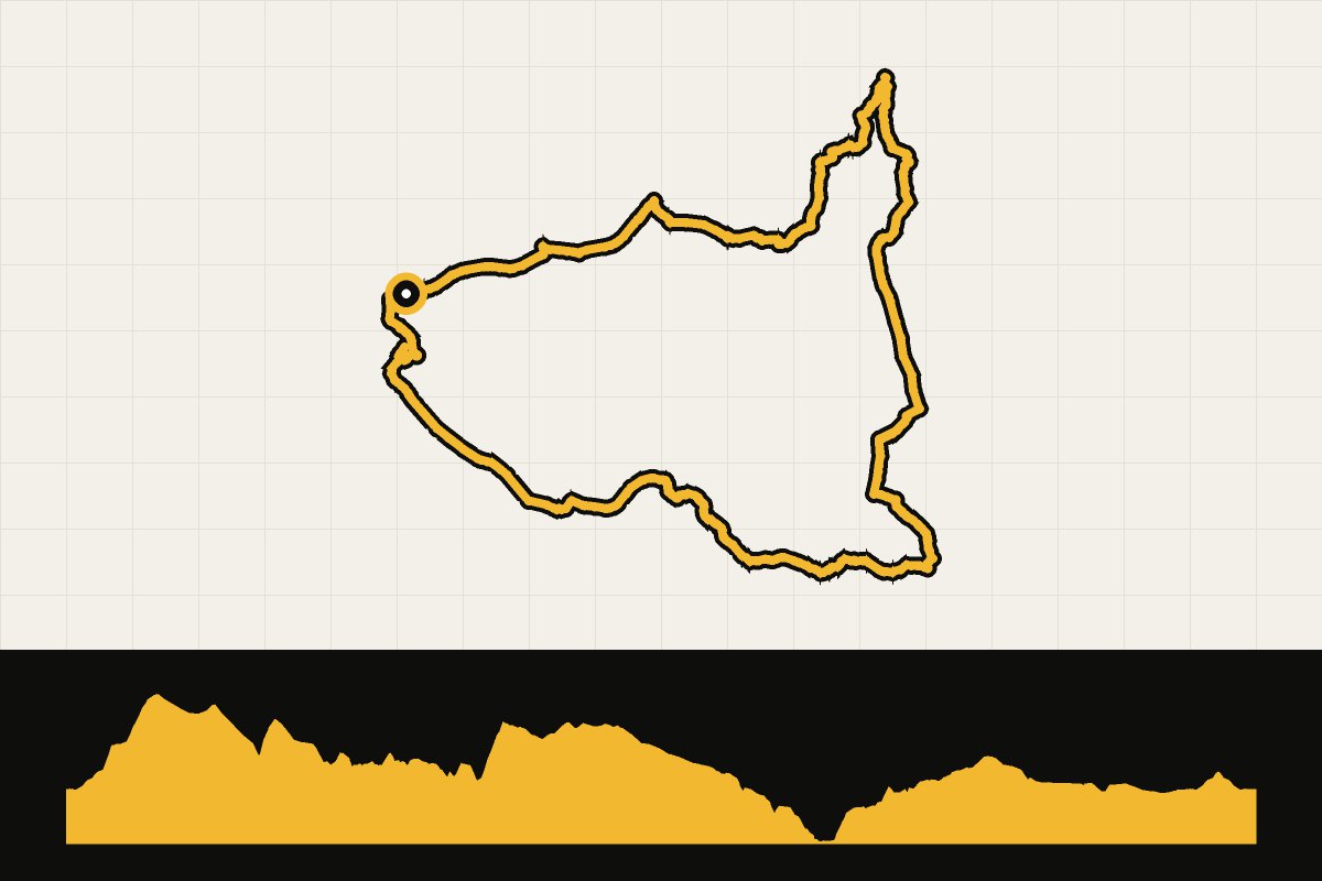
Map & elevation profile
North York Moors: Esk, Coast and Iron Gravel Explorer GPX
no elevation data
| name: | no data |
| distance: | no data |
| minimum elevation: | no data |
| maximum elevation: | no data |
| elevation gain: | no data |
| elevation loss: | no data |
| duration: | no data |
A gravel adventure through the 'Land of Iron', the old iron ore region of the North York Moors. Over quiet roads, gravel and forest paths through the Esk Valley via Castleton, Commondale and Danby to the coast near Skinningrove (with the Land of Iron museum), and back over a former railway and NCN 168 to Guisborough. Parking at Specialized Guisborough. The park lists 60 km; the GPX file measures 55 km. Level: difficult. Route and GPX: North York Moors National Park.
Source: northyorkmoors.org.uk.