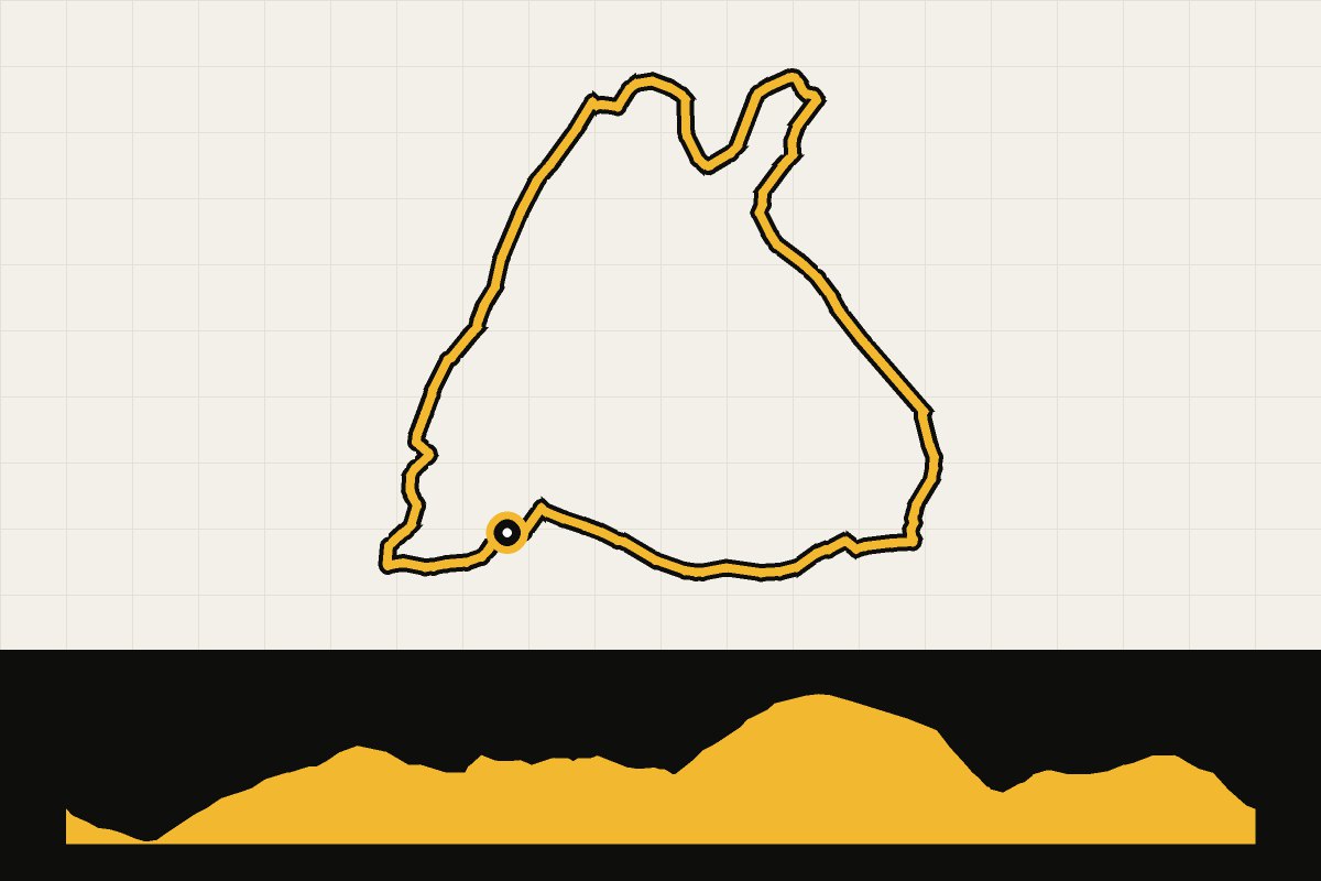
Map & elevation profile
North York Moors: Gribdale Gravel Explorer GPX
no elevation data
| name: | no data |
| distance: | no data |
| minimum elevation: | no data |
| maximum elevation: | no data |
| elevation gain: | no data |
| elevation loss: | no data |
| duration: | no data |
Introductory tour of the National Park around Roseberry Topping, the 'Matterhorn of the North'. Quiet paths, smooth forest tracks and heather trails with steady ascents, via Guisborough Forest and Percy Cross Rigg to Kildale and back to Gribdale Gate. Much tarmac with a few gravel sections: good if you're new to off-road driving. Stations Great Ayton and Kildale are nearby; bike rental at Bike Base. Level: easy/medium. Route and GPX: North York Moors National Park.
Source: northyorkmoors.org.uk.