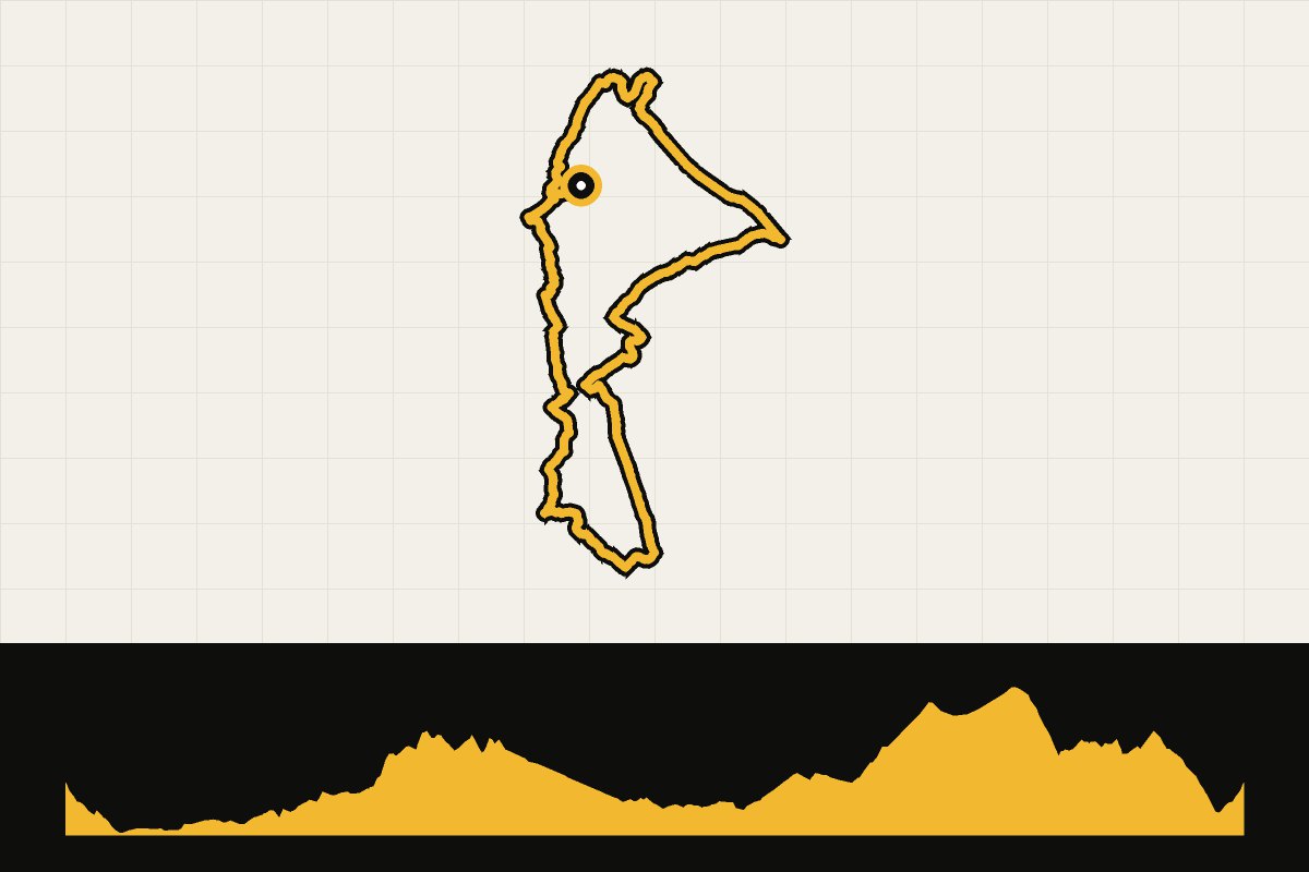
Map & elevation profile
North York Moors: Ingleby Horseshoe Gravel Explorer GPX
no elevation data
| name: | no data |
| distance: | no data |
| minimum elevation: | no data |
| maximum elevation: | no data |
| elevation gain: | no data |
| elevation loss: | no data |
| duration: | no data |
From Bike Base to the south via Easby and Ingleby Greenhow to the highlight: the Ingleby Horseshoe, long undulating stretches of 'champagne gravel' to Bank Foot. Back via Ingleby Greenhow and Kildale, over cycle route NCN 168 on Percy Cross Rigg and through Guisborough Forest between Roseberry Topping and Little Roseberry, with a final descent to Aireyholme Farm. Level: medium. Route and GPX: North York Moors National Park.
Source: northyorkmoors.org.uk.