Map & elevation profile
Gravel route De Meinweg from Roermond GPX
| name: | no data |
| distance: | no data |
| minimum elevation: | no data |
| maximum elevation: | no data |
| elevation gain: | no data |
| elevation loss: | no data |
| duration: | no data |
Submitted by Mike Roodvoets, A cyclist from our community
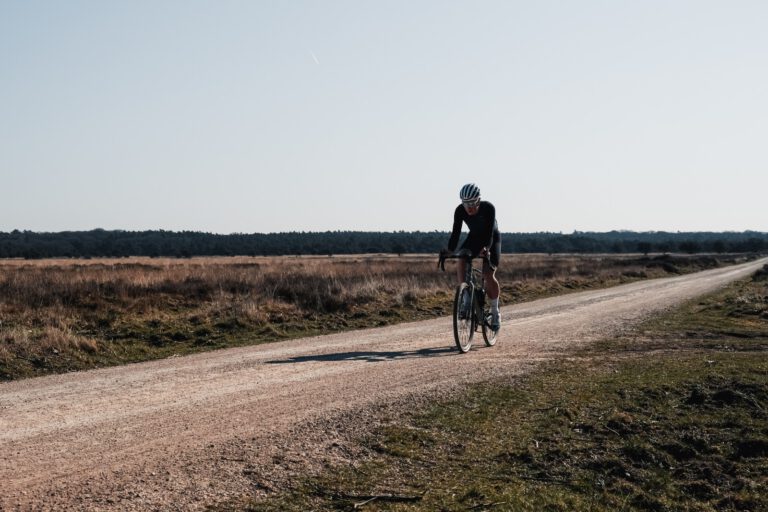
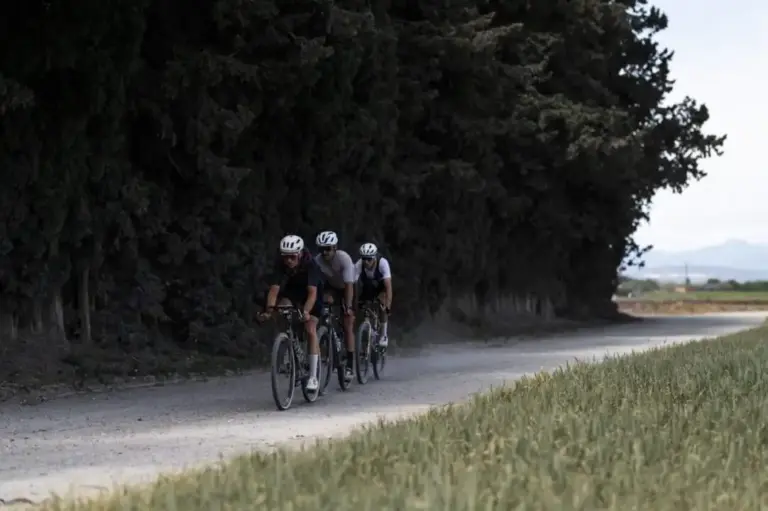
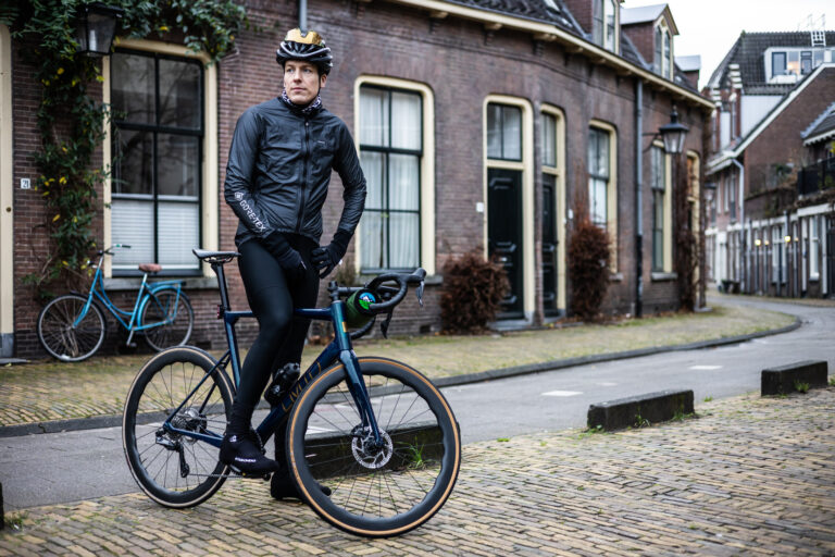
A gravel ride of over 46 kilometers from Roermond, through one of the most beautiful natural areas of Limburg. Mike Roodvoets rode it and calls it without a doubt an absolute must-see. You drive from Roermond-Zuid via Asenray into the forest and cycle along Boukoul to the German border. After crossing the border, forest paths lead you around Brüggen and Niederkrüchten, before you return to Roermond via De Meinweg at Herkenbosch and Vlodrop.
On the way
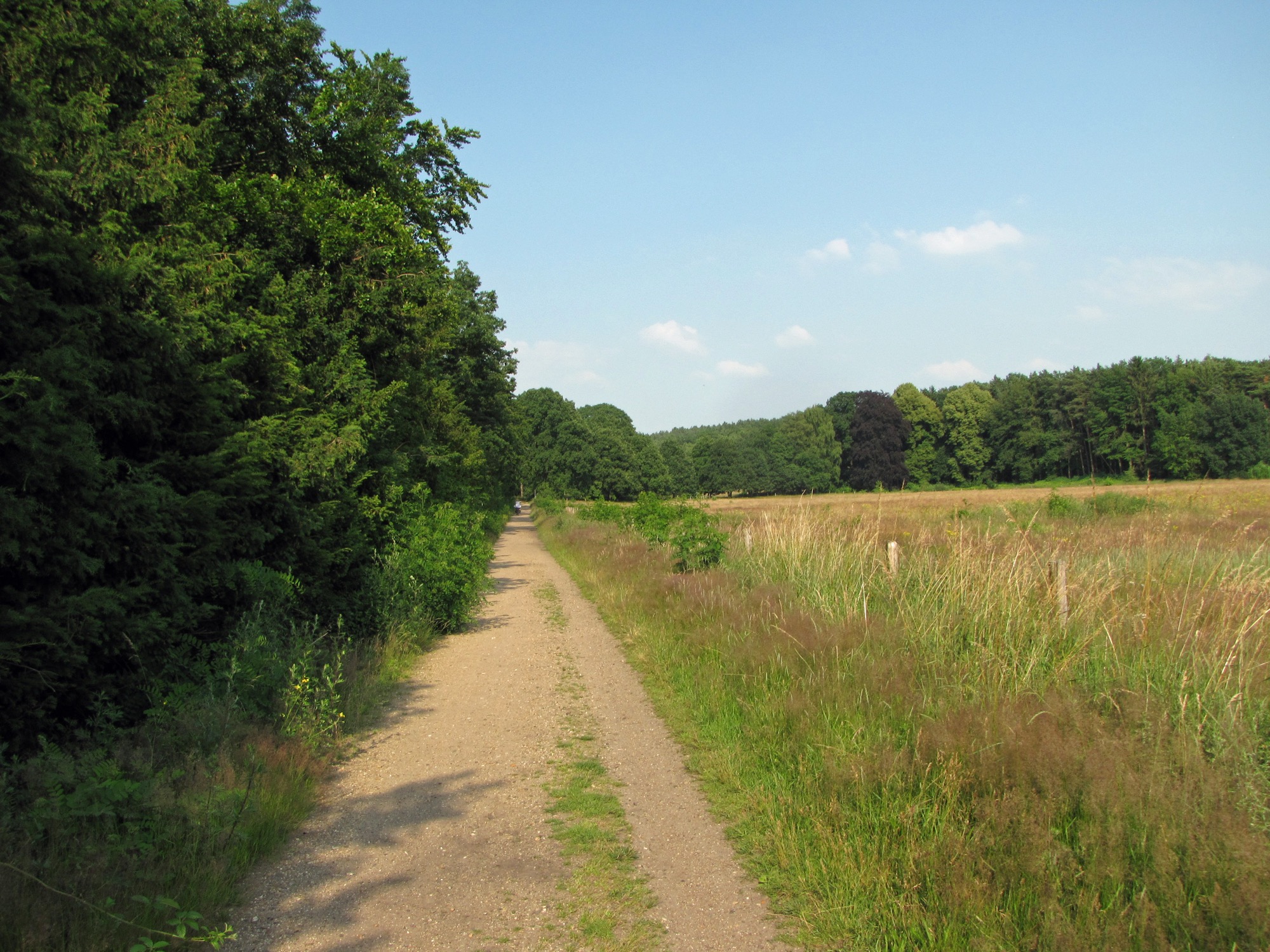
- The forests at Asenray and Boukoul, a peaceful walk through forest paths directly east of Roermond.
- Across the borderIn Brüggen and Niederkrüchten, you drive through the German part of the border park, with long unpaved forest paths.
- National Park De Meinweg in Herkenbosch and Vlodrop: heather, fens and forest, and for Central Limburg surprisingly much relief.
Good to know
The start and finish are in Roermond-Zuid, at the parking lot on Keulsebaan and Oosttangent. With about 130 vertical meters, it’s not a difficult route, but there are some short, steeper sections, especially around De Meinweg. Bring your ID: part of the route is in Germany.
More bicycles in this province? Check out our page about Cycling in Limburg.
This route was driven by Mike Roodvoets and submitted through our community. Do you have a route you're proud of too? Send him in.