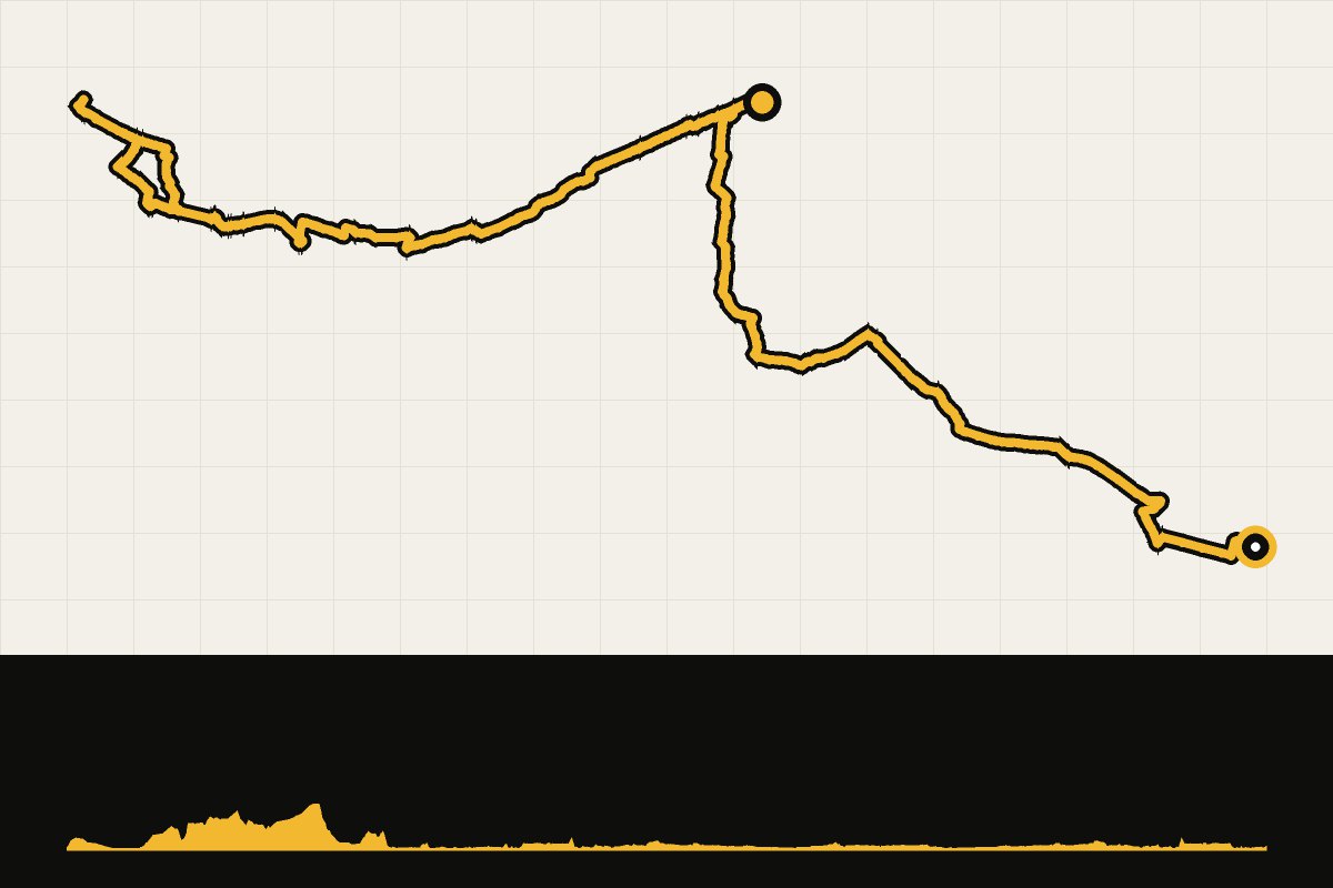
Map & elevation profile
West-Pommeren day 2: Wolin – Międzyzdroje via Świnoujście GPX
no elevation data
| name: | no data |
| distance: | no data |
| minimum elevation: | no data |
| maximum elevation: | no data |
| elevation gain: | no data |
| elevation loss: | no data |
| duration: | no data |
Day 2: From Wolin to Międzyzdroje through forests and fields, over wide gravel paths and bumpy concrete slabs. Then a round trip to Świnoujście along the coastal route Velo Baltica (number 10): first along endless sandy beaches, then through the forest over rocky gravel with here and there loose sand. With the free ferry you cross over to Świnoujście, with the Stawa Młyny lighthouse and the Iron Curtain monument on the German border. We marked the GPX file with BRouter based on OpenStreetMap map data (© OpenStreetMap contributors). Along the way we drove a little more kilometers.
Read the full story: West Pomerania is your next gravel destination in Poland.