
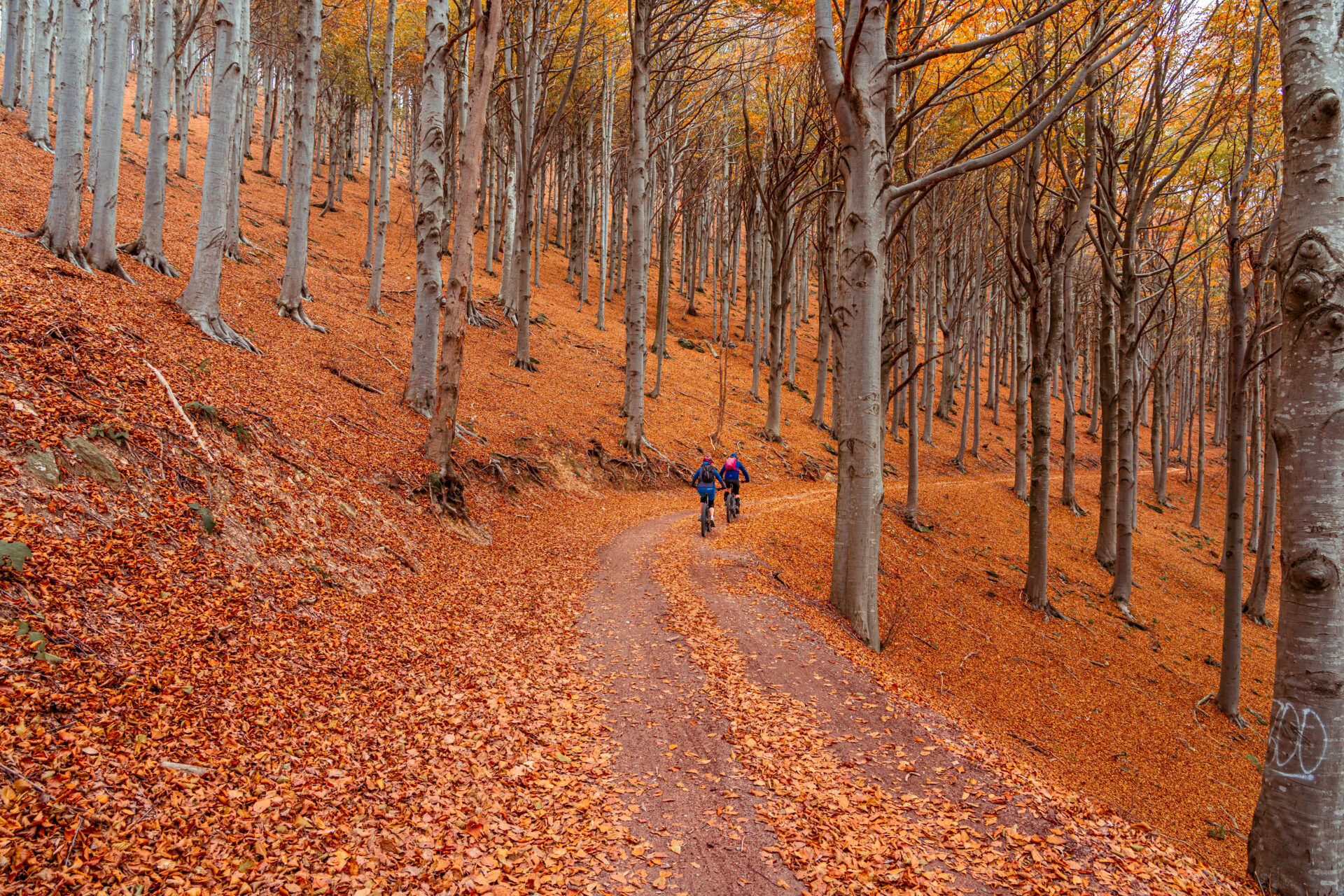
A new cycling initiative in Western Liguria, Pedala a Ponente, connects over 30 routes through the hinterland of Savona, Imperia and Cuneo. Fewer honks, more villages. And you just ride along the Poggio.
Who is interested in bicycles in Liguria thinks, thinks of the coast and automatically thinks of Milan-Sanremo. To Milan-Sanremo. Via Aurelia with his impatient Italian motorists, in the beautiful but busy city. Pista Ciclabile along the Riviera dei Fiori, and of course on the pilgrimage to the Poggio di Sanremo. But the interior? That remained a blind spot for most people. In late February, that changed. Pedala a Ponente launched: the first integrated cycling tourism network that systematically takes you into that inland area.

What exactly is it?
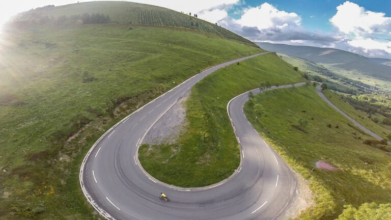
Pedala a Ponente connects 23 to 24 municipalities in the provinces Savona, Imperia and Cuneo (yes, that’s already Piedmont) via more than 30 circuits. The network has around 1,600 to 1,750 km of routes, covering about 37,000 to 40,000 meters of elevation gain. These are not flat coastal routes.
The project is being led from Altare (SV) and was set up by Onirica Srl, a social enterprise from Lombardy. The philosophy: bicycle tourists leave the crowded coast and let themselves be introduced to the villages, traditions and cuisine of the hinterland. Lucia Moscato, mayor of Testico, At the presentation, he said: “We have decided to strengthen our administrative actions to make our area and our special features better known.”
Navigating without an app
Pedala a Ponente has deliberately not developed an app. Their argument: an app produces 100 to 1,000 times more CO₂ per year than a PDF. Instead, they use QR codes that lead to an interactive PDF, with direct links to Google Maps as a navigator.
We’ll have to raise an eyebrow here. Google Maps in a Ligurian mountain valley without coverage isn’t always your best friend. And GPX export for your Garmin or Wahoo? That’s not even being discussed. Our advice: download your routes in advance, bring a powerbank, and don’t blindly rely on one navigation source (that goes for anywhere, by the way).
Interesting routes
Liguria has invested heavily in cycling infrastructure in recent years. The Pista Ciclabile della Riviera dei Fiori It is now about 28 to 32 km long, running from Imperia up to Ospedaletti and is built on an old railway line. The Capo Nero tunnel Between Sanremo and Ospedaletti is decorated with quotes from the history of Milan–Sanremo.

But until now there was a lack of a structured offer for the interior. Pedala a Ponente fills that gap. The routes pass through places like Mills in Triora, Ormea and Calizzano, villages where you normally only come if you know a local or get lost. Or both.
Combine it with the Poggio
Anyone who goes to this part of Liguria also wants to take a moment to Poggio That 3.7 km with an average of 3.5% and a peak of 8%. The peloton of the Classicissima It comes around every year. The technical descent towards the Via Roma is the dessert.
And then there is the Cipressa Still: 5.6 km at an average of 4.1%, with stretches of up to 9%. Both climbs are perfectly manageable from the road. Diano Marina, where you can now find several bike hotels with a bike storage area, workshop and early breakfast.
The combination is obvious: one day the coast and the Poggio; one day a tour of the interior via Pedala a Ponente; and one more day the Pista Ciclabile as a rollout.
Practical
| Best season | Spring (April–June) or autumn (September–October), less heat and less traffic |
| Tires | Coastal area: 28–32 mm is sufficient. Inland: depending on the loop, but expect 35–45 mm for gravel |
| Navigation | QR codes via Pedala a Ponente + own GPX backup. Download offline maps |
| Basecamp | Diano Marina off the coast, Altare of Ormea for the interior |
In conclusion
Whether Pedala a Ponente works just as well in practice as on paper remains to be seen. We are curious to find out. The network is new, the routes are there, the infrastructure is growing. The network aims to lead cyclists from the busy coast to the hinterland.
Who has already driven through this stretch of Liguria? Do you know any routes around it? Mills in Triora of Calizzano Which we need to know? And does anyone actually navigate with Google Maps in the mountains? We would be happy to hear about it.
More information can be found on this site
Questions & tips
Do you have any questions about this route, or have you been there yourself? Share them here. We read everything and usually respond within a few days.