
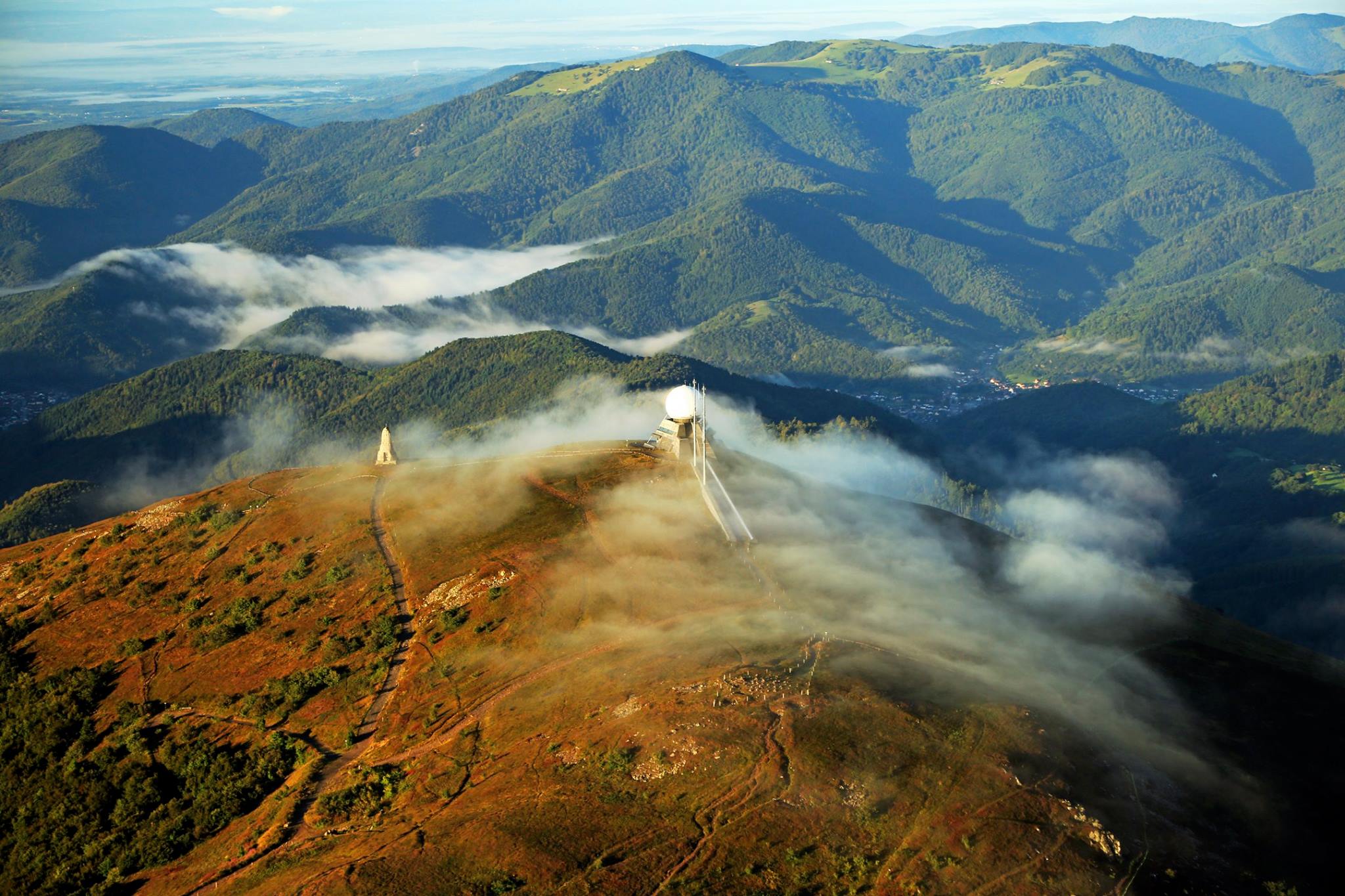
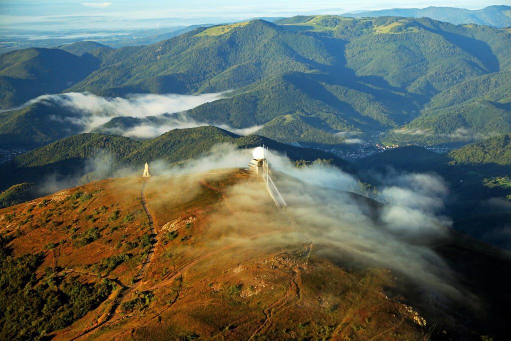
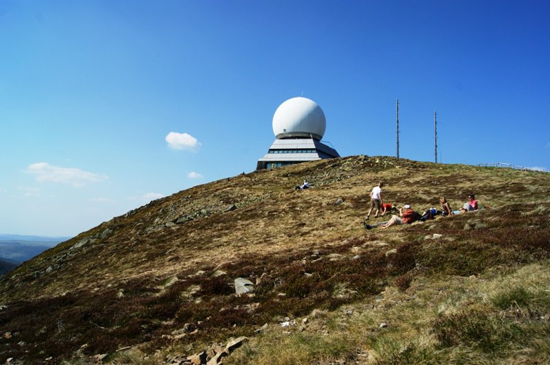
Actually, the name for an ascent could not be more beautiful than this: Col du Grand Ballon. A large balloon that you can ride against from multiple sides. On top of it Grand Ballon You will also find a large balloon. This is a radar that is used for all kinds of (unknown) purposes. In the winter you can ski on it, as evidenced by the ski lifts that have been built (and in the summer there is little demand). It is an interesting sight after a climb of almost 25 kilometers (from Bühl). This makes cycling in the Vosges a real challenge for many. Actually, the Col du Haag, a new climb is also part of the Grand Ballon variations.
The Grand Ballon is also regularly featured in the Tour de France and presents a nice challenge for the riders. This climb is also included in the Trois Ballons Granfondo, one of the most famous cyclo’s in Europe.
Cycling in the Vosges at a glance
- The highest summit: the Grand Ballon (1,424 m), with the Route des Crêtes along the ridge.
- Tour classics: the Ballon d'Alsace, in 1905 the first real mountain climb in the Tour de France, and La Planche des Belles Filles.
- Character: no Alpine giants, but lots of 8 to 15 kilometre climbs through forests and over mountain pastures.
- Close by: from the centre of the Netherlands it is about a six to seven-hour drive to the southern Vosges.
- Best time: May to September.
Climbs such as the Grand Ballon and the Petit Ballon are in our route database with GPX.
Updated in October 2026 with the key facts, routes and practical tips. The story below is our original ride report.
Beautiful location
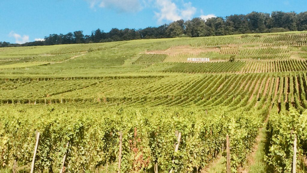
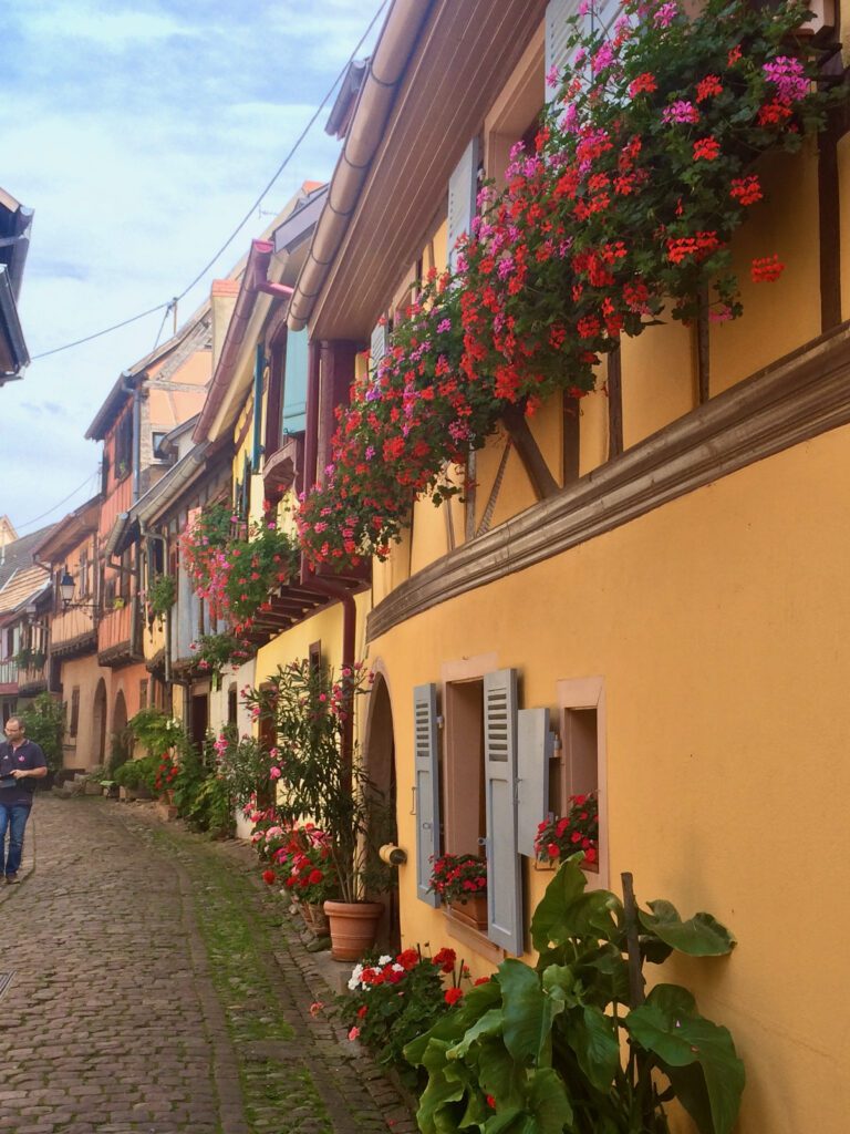
The mountainous region of the Vosges is concentrated in the National Park of the Balons of the Vosges. This beautiful area, in the ‘oksel’ of France, just below Luxembourg and to the west of the Black Forest, is loved by many cyclists. Not only because of the variety of routes, but also because of the location in the wine region of ‘Alsace’. If you have your accommodation east of the park, you can ride through the vineyards in stunning style. There you will also find the characteristic villages such as Eguisheim or Pfaffenheim with colorful half-timbered houses.
Long work
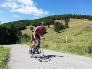
While I was from My stay in Rouffach Looking at the bike with a squinted eye, I see that it’s not looking good. It’s the middle of summer and there are dark clouds above the area where I want to cycle. Well, it’s 22 degrees Celsius, so it should be fine. With fresh courage, I start my journey towards the roof of Alsace and the Vosges: the Grand Ballon. I’ve chosen the long version via Buhl as the route. That climb is a total of almost 25 kilometers. Then you ride up via Le Markstein and finally to the top of Grand Ballon. I’ve planned the route a bit at random. I wasn’t in the mood for it on Komoot and I just really want to cycle in the Vosges. The first part I drive somewhat uninspired along the D road towards Issenheim. There I turn right onto the D430, which takes me from Bühl to an altitude of 1325 meters.
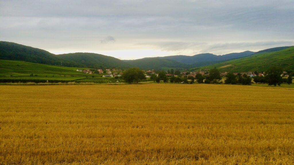
In total, there are more than 1000 meters of elevation gain. The percentage is quite impressive, because on average it is 3.8%, but there are a few kilometers in that average of 7%. That is quite a bit of effort. While the road from Guebwiller slowly begins to climb, I get into a good rhythm. After a few kilometers, I come across a group of hikers, on the right side of the road. They are clapping their way down and encouraging me as if I were riding a hiking trail. Apart, I think. I understand that later on. Because I haven’t even been a kilometer when the shower head opens from above. It is truly a rain shower.
Col du Grand Ballon, Soultz-Haut-Rhin, France
• Distance: 18.2 km, Elevation difference: 1068 m, Average gradient: 5.9 %
Wet gang
I’m dressed up, but it’s still a pretty big shower. In my head I keep saying: I keep stepping, that’s how I stay warm. And that’s what I do. It goes really nicely through the forest and that’s why I’m somewhat sheltered. I get wet feet, but who cares? The poles along the side of the road give the elevation and the kilometers. That gives you a good idea of the gradient per kilometer. The stretches of 7% average are a bit painful, but not a problem in itself. I take the long route via Le Markstein and I’m glad I can see this ski resort now. Then I've already climbed 18 kilometers. Just below the summit there's still a bit of descent, which is followed by another stretch at 7%.
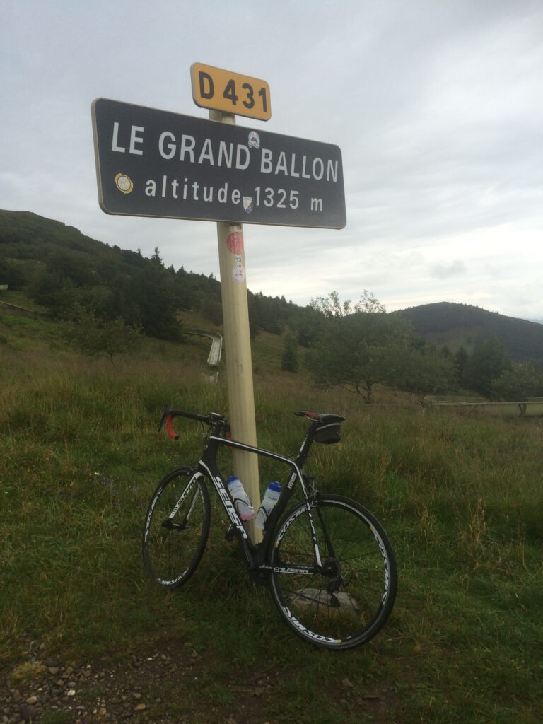
Along the way, you’ll encounter a few interesting hairpin bends. The point of Le Markstein is at 1183 meters, so we have to climb a little further. It doesn’t really climb that much, but it’s more like a slight slope. Meanwhile, you can see the Grand Ballon quite clearly. At the sign for the Grand Ballon (it’s stopped raining by now), I put my bike down for a moment. Mission accomplished. I climbed for 1.5 hours at my usual snail pace. That’s quite a long time for a climb of only 1300 meters and a bit.
Shaking legs
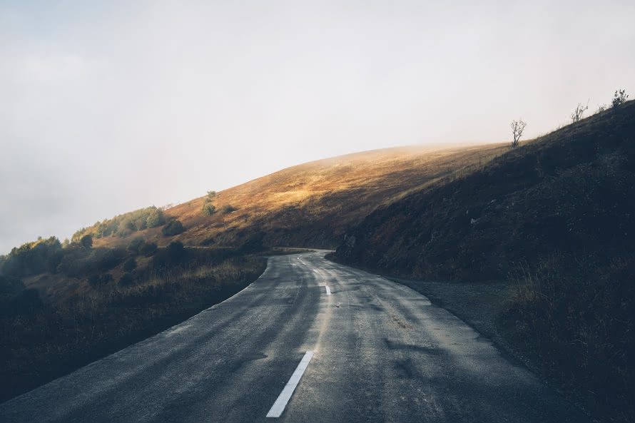
What follows can be described as one of the more dangerous descents I have ever done. Because it is very wet, the road is slippery. Now I am not Paolo Salvoldelli or Julian Alaphlippe, so I am a little nervous. Additionally, it has cooled to 9 degrees at the top of the Grand Ballon. I am wearing a warm jacket, but because my feet have been soaked by the rain, they almost freeze during the descent. With fear and trembling, I drive down towards Wattwiller. I miss the descent (and the short route) towards Soultz. That is a negative point because it means I have to do a total of 85 kilometers. I had expected 65, and those last 20 kilometers are more of a drag. When I see my hotel in sight, I take a sigh of relief. The 20 minutes in the shower are very good.
Variations on a theme
The Grand Ballon can be climbed in several ways. Even from Buhl you have several variants, with the shortest variant, almost 10 kilometers, being a real gravel route. The other well-known variant is the one coming from the direction of Moosch (west side) or ‘my descent’ from Uffoltz back up. So you can certainly have a long weekend out of it with just this climb. That’s quite nice, because most climbs usually have only two or at most three variants.
Beautiful in the neighborhood
The national park is not called ‘ballons’ for nothing. There are therefore more of them. A large balloon also comes with a smaller one. The Petit Ballon is perhaps more fun in terms of challenge. The name is somewhat misleading because the variant from Munster (the French variant) is 7.1% on average over 11 kilometers. The top is finally at 1163 meters. Don’t forget that you will encounter a maximum of 15% of them here. No cat shit! This makes it a nice challenge. Further along there is also the Col de Hundsruck, That offers an average advance of 7% kilometers in 7 kilometers. That is also a nice challenge when you go cycling in the Vogezen.
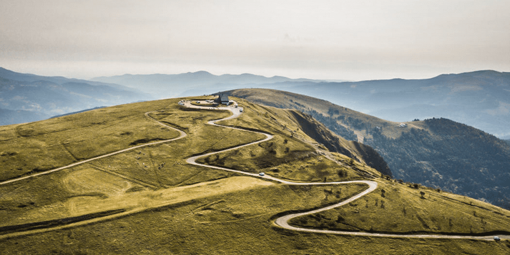
Planche des Belles Filles
Of course, this shouldn’t be missing in a piece about cycling in the Vosges. In recent years, this climb has been included several times in the Tour de France and in particular in 2020 it was decisive. Many of you will remember how one Tadej Pogacar rode up there. The myth surrounding this climb is growing rapidly. In 7 kilometers of climbing, this small, friendly giant climbs at 8.8% with a maximum of 20 %(!).
Route from Rouffach (near the castle)
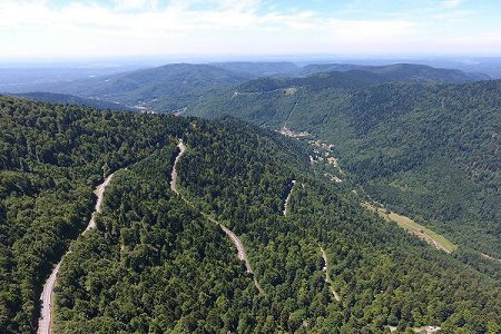
If you’re going cycling in the Vosges, you have to ride the Grand Ballon at least once. The route below is a nice one, with the long version starting from Buhl. You can also cycle the other way.
Hotel tips in the Vosges.
There are a number of good sports/cycling hotels in the Vosges. Below on the map you will find our favorites, marked with an asterisk; you will also find the location of the Grand Ballon and Ballon d’Alsace, so that you can make the right choice for your stay.
Want to know more? Then check out this story series:
- Cycling routes in the Vosges: mountains, forests and bubbles
- Cycling in the Vosges: the 7-kilometer route to Planche des Belles Filles
- Classic Ride: Cycling route to the Grand Ballon
- Cycling in Alsace: Ballon d’Alsace
- Cycling in Alsace: Col du Petit Ballon
Questions about cycling in the Vosges
Where is the best place to stay?
In the southern Vosges, around Thann, Guebwiller or Munster, most climbs are within cycling distance. On the Alsace side you can combine cycling with wine villages.
Are the Vosges good preparation for the Alps?
Yes. The climbs are shorter, but you can rack up a lot of climbing in a long weekend. Ideal as a dress rehearsal for an Alpine trip.
Can you ride gravel there?
Definitely. The forests are full of wide forest roads, and around the Planche des Belles Filles and the Ballon d'Alsace there are great unpaved routes.
More bases, routes and hotels are on our destination page: Vogezen.
Questions & tips
Do you have any questions about this route, or have you been there yourself? Share them here. We read everything and usually respond within a few days.