Switzerland as a climbing destination. For most of us, alpine knowledge stops at the French border, and that is a shame.
“Cycling’s best kept secret”. You can say that again. While the Galibier and Alpe d’Huez are clogged with campervans in August, you cycle up the Col du Sanetsch almost entirely on your own. The tarmac is smooth, the roads are quiet and the cols easily exceed 2,000 metres. Below is our selection by region, with a place in each region where you can park your bike for a week.
Andermatt – the classic
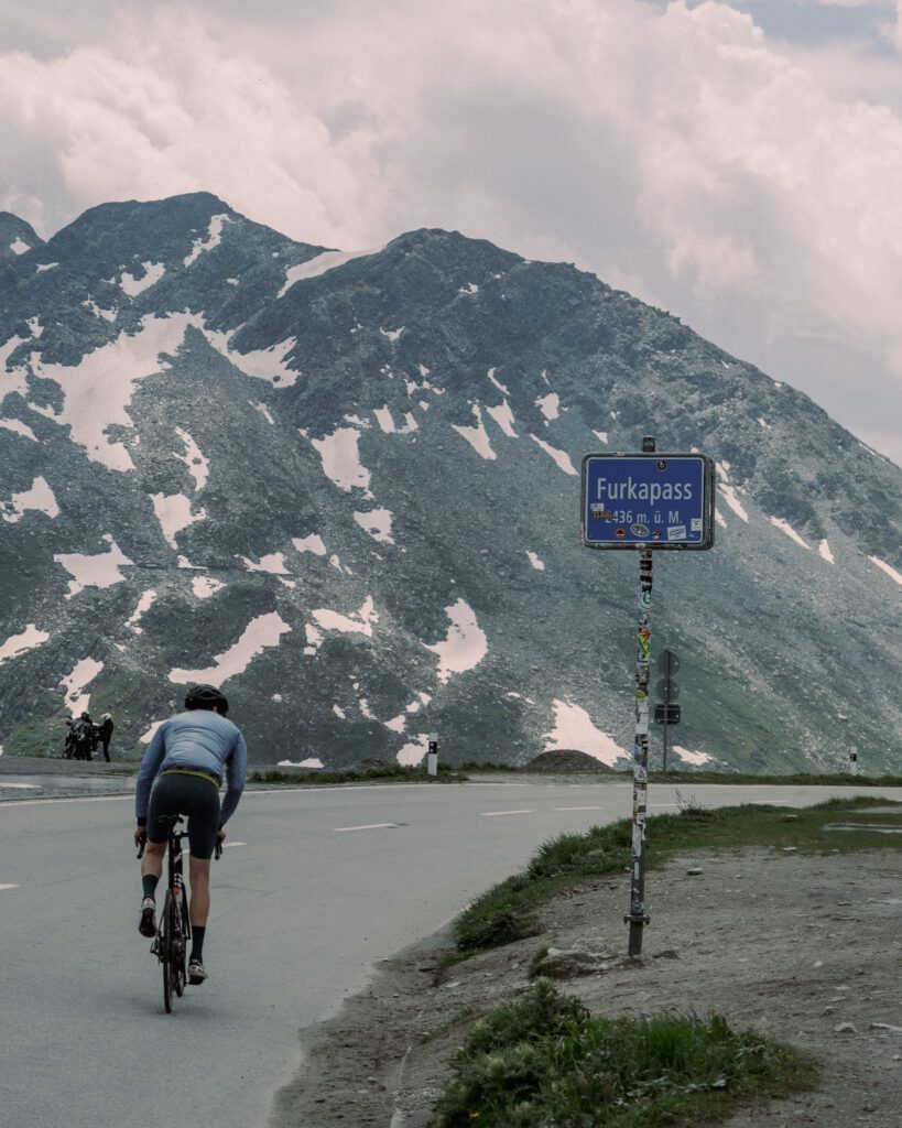
Andermatt lies right where the major passes meet. From the village you can drive straight to the foot of the Furkapass (2.429 m) and the Gotthardpass, and by train or with a short extra stretch also to the Susten and the Grimsel. The village has bike shops and rental, so a broken derailleur hanger is not a disaster here.
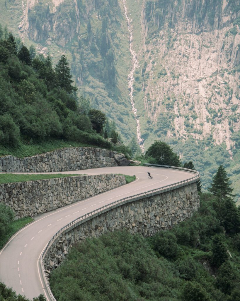
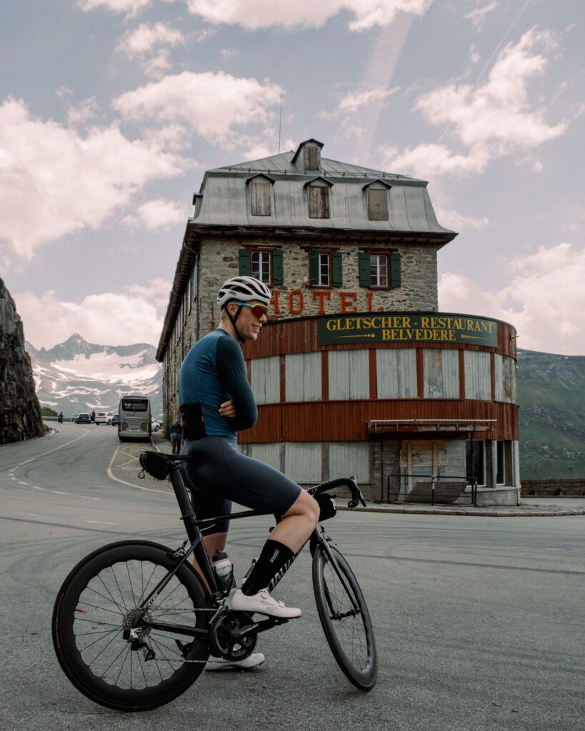
The Furka from Realp is 12.2 km long, with an average gradient of 7%. The first half winds its way up; after that, you can see the summit ahead of you the whole time. At the top there is Hotel Belvédère, known from Goldfinger, and according to Gran Fondo Guide they serve good coffee. The west side from Oberwald is even more scenic: climbing through the Rhône Valley; if you're lucky, the steam train passes by, and at Gletsch the road branches off towards the Grimsel.
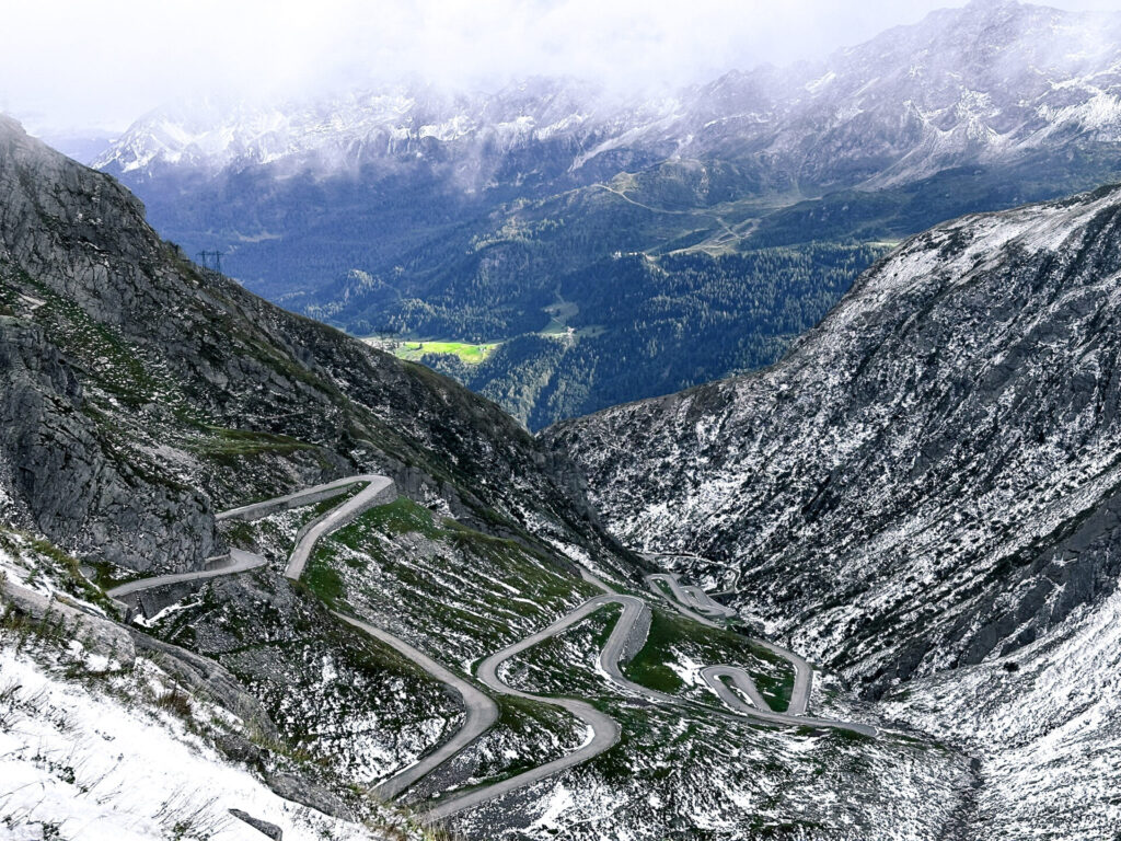
The Gotthard You do this via the old Tremola Starting from Airolo. Fourteen kilometres on the 6%, mostly on cobblestones, winding its way up to 2,108 metres. The cobblestones are neatly laid. The modern road running alongside it is better for the descent. Fancy a long day’s ride? The Susten, Furka, Grimsel loop is around 120 km with three mountain passes above 2,100 metres. The Susten Pass (2,224 m) – it’s best to approach this from the west: 14.9 km on the 7%, more than ten small tunnels and, even in the height of summer, there are sometimes snowdrifts at the summit.
Valais – Sanetsch, Emosson and the quiet side valleys
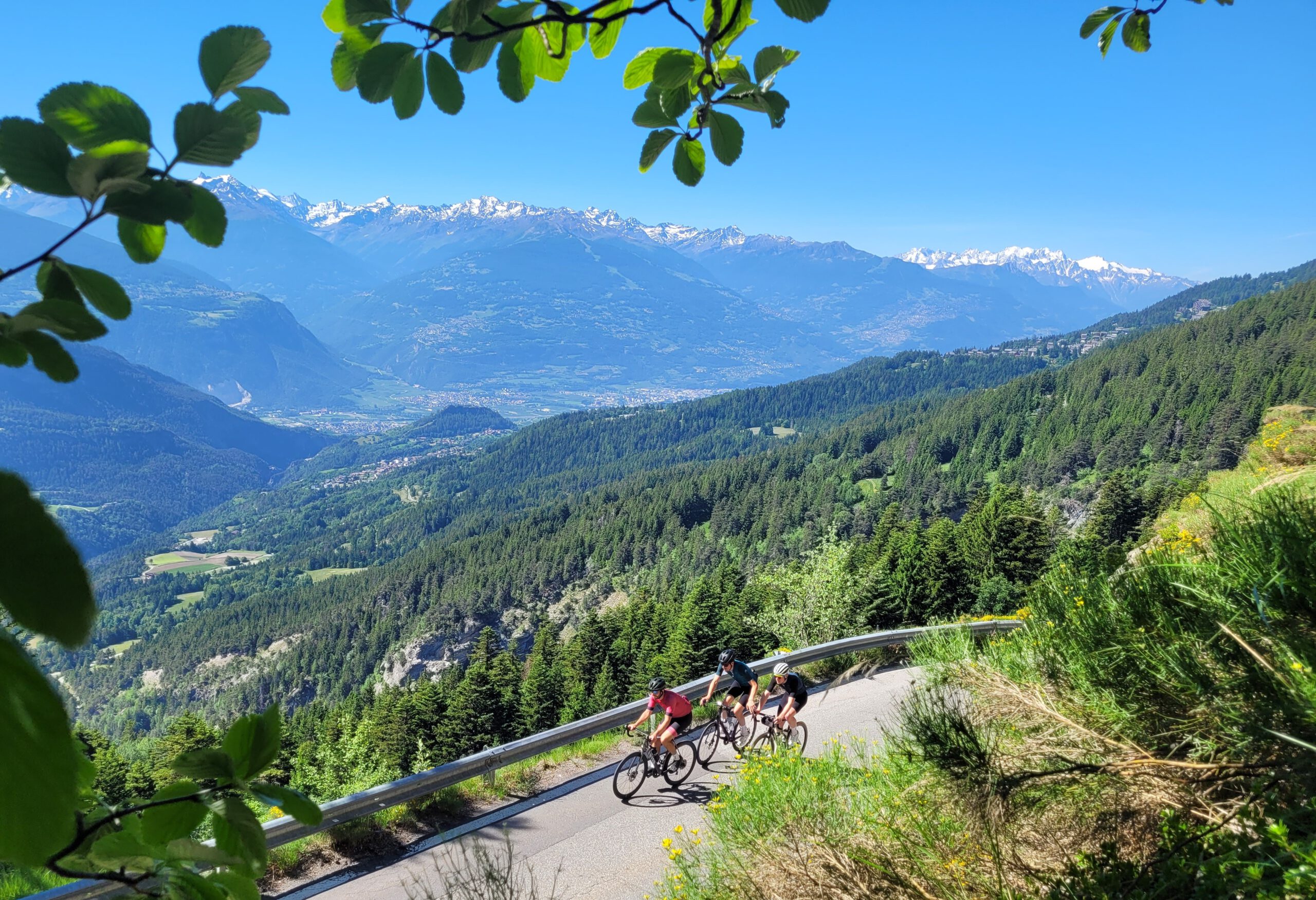
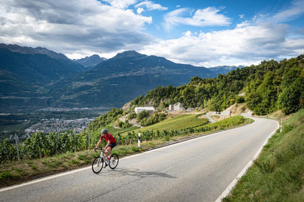
For us, the Col du Sanetsch the most beautiful climb in the country, and Gran Fondo Guide ranks it at number one too. You start in Sion in the warm Rhône Valley, heading straight up firmly between the vineyards. Then forest, open alpine meadows, steep hairpin bends and less and less traffic, because the road is a dead end. At an altitude of 2,000 metres an 800-metre tunnel awaits that is only lit when the motion sensors spot you. So bring a light. After 24.6 km and well over 1,700 metres of climbing you reach the top at 2,242 metres with views of a glacier and reservoir.
You don't need to take the same way back: drive another few kilometres on to the reservoir and hook your bike onto the cable car to Gsteig bei Gstaad. The route loops back to Sion via the Col du Pillon, the Col de la Croix and Aigle. For the start, CycloWorld recommends the eastern route via Chandolin as the most scenic option.
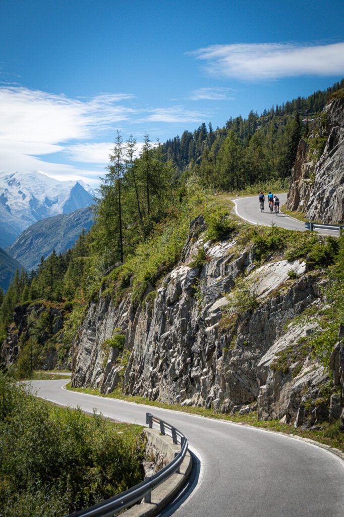
Less well known is the climb to the Lake of Vieux Emosson, also known as the Barrage d’Emosson. The Tour de Suisse and even the Tour de France have finished at the Barrage d’Emosson, but a narrow road continues upwards from there to the higher-lying lake. From Le Châtelard, you’ll climb 1,260 metres over a distance of just over 16 km, with Mont Blanc in view the whole way. Save some energy for the final 1.5 km at a gradient of 15%.
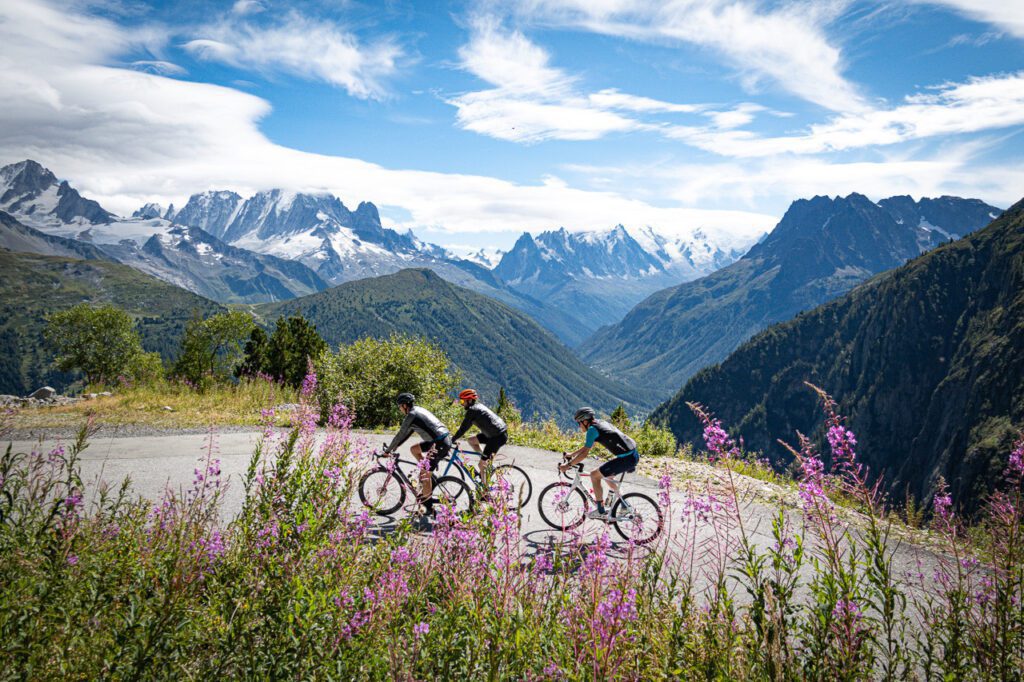

If you're looking for peace and quiet, it is Val d’Hérens south of Sion a good option. Riding in loops isn't possible here on asphalt, but the side climb to the Col de Ferpècle (1.891 m) from Les Haudères is very quiet: 510 metres of climbing over a good 8 km, with views of the glacier. It is one of the unknown gems of Switzerland. Sion is a logical base for this entire area, with a railway station and the Rhône Valley as a flat recovery day.
Vaud Alps – Col de la Croix from Bex
Just west of Valais, above Lake Geneva, lie the Alpes Vaudoises. The big climb here is the Col de la Croix From Bex: 20.3 km at an average gradient of 6%, 1,255 metres of elevation gain, summit at 1,776 metres. On paper, it’s a steady climb; in practice, it’s divided into five sections. The first section regularly exceeds 10%; between Gryon and Villars-sur-Ollon it levels out; after Villars there’s a steep climb; and the final 4 km are a winding ascent to the summit. From the top, you look out over the Rhône Valley and the Diablerets.
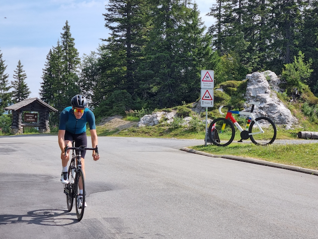
As Basecamp is Villars-sur-Ollon handy, halfway up the climb and close to the Col du Pillon. What’s more, the area isn’t just for keen climbers: the region itself offers flat routes through the valleys for beginners and families, with e-bikes for those who want to see the mountain passes without having to cycle up them under their own steam. This is great if you’re travelling with a mixed group.
Graubünden – Albula, Umbrail and the Engadin
Graubünden is rugged and sparsely populated. The northern side of the Albulapass (2,312 m) from Filisur is 22.6 km at 6%; it’s never particularly steep, but it is the climb with the most significant elevation gains. You cycle under the arches of the Rhaetian Railway’s viaducts – a UNESCO World Heritage Site – over cobblestones in Bergün, past precipices and scree slopes. Above lies a small lake, and beyond that, nothing but silence. From La Punt, the southern side is lovely, though it makes a considerably less impressive sight.
Right at the eastern end lies the Umbrail Pass (2,501 m), Switzerland’s highest paved mountain pass. From Santa Maria, you climb 13 km at an 8% gradient through a rugged and tranquil landscape. Halfway up, there is a 2 km stretch of gravel – a touch of Strade Bianche in the Alps. At the summit, you’ll be on the border, where the road joins the Stelvio, which you can therefore just pull up like that. According to some, this is the most beautiful side of the Stelvio.
Who in the Engadin zit, also has the Bernina and the Julier within reach, plus the Maloja Pass...falls gently from the Engadine Valley, but is a wall of hairpin bends if you tackle it from Chiavenna. Serving as a base of operations St Moritz and Davos, both with bicycle shops and a train connection. Chur is the alternative if you also want to take in the Rhine Gorge.
Bernese Oberland – Grosse Scheidegg
The Grosse Scheidegg (1,962 m) is the climb for those seeking peace and quiet. The road is closed to cars, with only the local bus running once every half an hour. From Grindelwald It’s just over 16 km at 7.6% along a narrow and sometimes bumpy track, with the north face of the Wetterhorn right in front of you. In the second half, the gradient rarely drops below 10%. At the top, there’s a mountain restaurant where you can catch your breath. Make a loop of it by following the shore of Lake Brienz and finish with a dip in the lake. If you’ve still got the legs, the dead-end climb to Männlichen from Grindelwald to wait. Interlaken is the logical base camp, with trains in all directions.
Practical – season, trains and sleeping
The season for the high passes runs from June to September inclusive. Outside of that period, most passes are closed or covered in snow. Take a rain jacket and arm warmers even in July, as the weather changes quickly above 2,000 metres and cafés are less frequent above 1,500 metres.
SBB and Postbuses take bicycles, making it easy to shorten a loop or skip part of a recovery day. On intercity trains you reserve a bike space, regional trains are roll-on. The Veloland network of over 12,000 km of signposted routes ensures you find your way even without a Garmin. For sleeping there are Bike Hotel-certified addresses with secure bike storage and tools. Such a overview You can find information about junctions and tips from the Swiss cycling organisations themselves.
Our shortlist for next year: Crans-Montana or Martigny for the Sanetsch and Emosson, Andermatt for the classics. Have you been to Switzerland yet and do you have a col or a base camp that is not on this list? We'd love to hear from you!