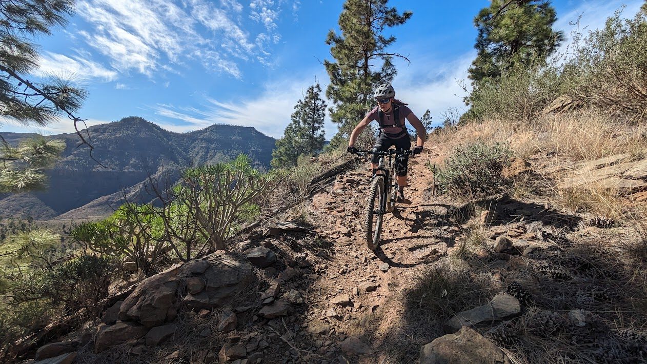
As the crow flies, it is only 7 kilometres from Airolo, the classic starting point for the Tremola/Gotthard Pass, and Lago del Naret. But to get to this stunning mountain lake, a gem in Ticino, you will have to ride all the way around via Locarno. This is perhaps why many cyclists take in this stunning climb in Switzerland do not know. It is also fairly isolated, it is a so-called dead-end and in the immediate vicinity it is fairly isolated. Still. If you go cycling in Ticino then this climb cannot be missing from your route.
Basecamp Locarno
If you choose to book a holiday in beautiful Ticino, Locarno is probably the best option. Not only because it provides access to Lago del Naret, but also because you can go in several directions from here. The lake offers great refreshment after a long day on the bike. From here, you can also quickly head towards neighbouring Italy. The city of Locarno is one of the sunniest cities and its climate is very pleasant. So perfect!
The climb to Lago Del Narèt
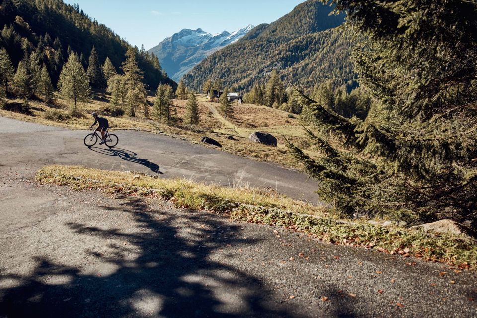
Although we take Locarno as our base, the real climb to Lago del Narèt starts in idyllic Bignasco, a hamlet of 300 inhabitants. From here you start a long trek of 32 kilometres to Lago del Narèt. Already after about 1 kilometre you will encounter the first hairpin bend. This one is very short and not necessarily very steep. The first 10 kilometres are very gradual at all. Except for the first 2.5 kilometres, you hardly get above 5 per cent gradient. You ride up gingerly through a beautiful valley, with the Swiss Alps on both sides. A kind of long runner.
Turn on
After 10 kilometres, just before you reach the hamlet of Peccia, the road suddenly climbs steeper. You feel that this is no longer a leisurely warm-up and the counter immediately shows more than 7 per cent ascent. In Peccia, you turn right and are presented with some beautiful hairpin bends. This eases the pain a little as the gradient does not drop below 10 per cent here. It flattens out again for a while until you reach picturesque Fusio. You pass the small agglomerations of Mogno and if you look closely you can see the Maggia flowing on the left. That is also what this route is named after, the Vallemaggia.
Fusio and feather
Should you want to catch your breath after the first half of the climb, the Antica Osteria Dazio in Fusio is a good point for a drink. Note: the hardest part of the climb comes now. You are already at 1289 metres here, but the summit by the lake is at 2311 metres! That is: over the next 15 kilometres, you will bridge over 1,000 altitude metres. At Lago de Sambuco, there are also some flat kilometres in between, so make sure you haven't shot your powder in the first part.
Wooden bridges and more
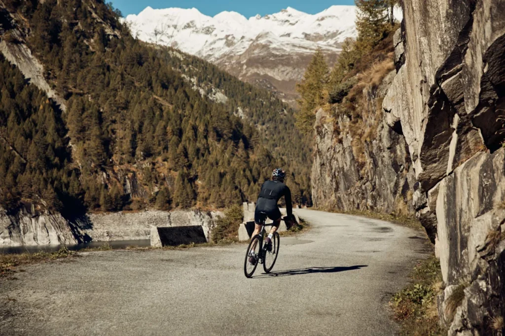
The street uphill gets narrower and narrower. The road occasionally crosses wooden bridges and you have a beautiful spruce forest here which gives you cover from the Mediterranean sun. After all, the Mediterranean coast is not that crazy far from here. That is also the special thing when you start the climb from Locarno. There it is often still lovely and warm and on top it is quite chilly!
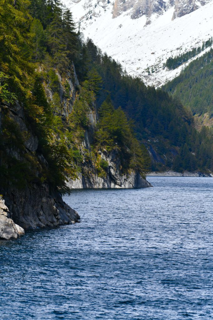
Some 12 kilometres below the summit, you will find the dark green and stunning Lago del Sambuco. This gem is surrounded by spruce forests and steep slate hills that disappear into the lake's waters. So you can catch your breath here before the last 9, gruelling kilometres to the summit. Because reaching the top of Lago del Naret is really no mean feat.
Steep and irregular
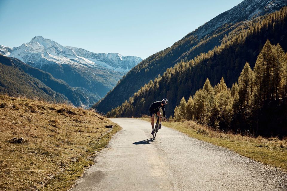
Just when you think you have picked up a rhythm, the climb flattens out again to rise steeply again rather abruptly. From Campo Sotto onwards, the road is little more than a goat track. You still encounter cars, but only a few. Which is just as well, as you already have enough on your own and the 15 to 16(!) per cent mark on the Wahoo. This is the steepest part of the climb. My goodness what a tough one this is! With six kilometres to go, it suddenly flattens out. You have 500 metres of rest to look around, but then it's still 5.5 kilometres above ten per cent. It's almost a climb out of the Asturias book. It really is a winding path and, because you're above 2,000 metres, you have a beautiful wide view. But oh, oh, oh, how this hurts.
Full legs
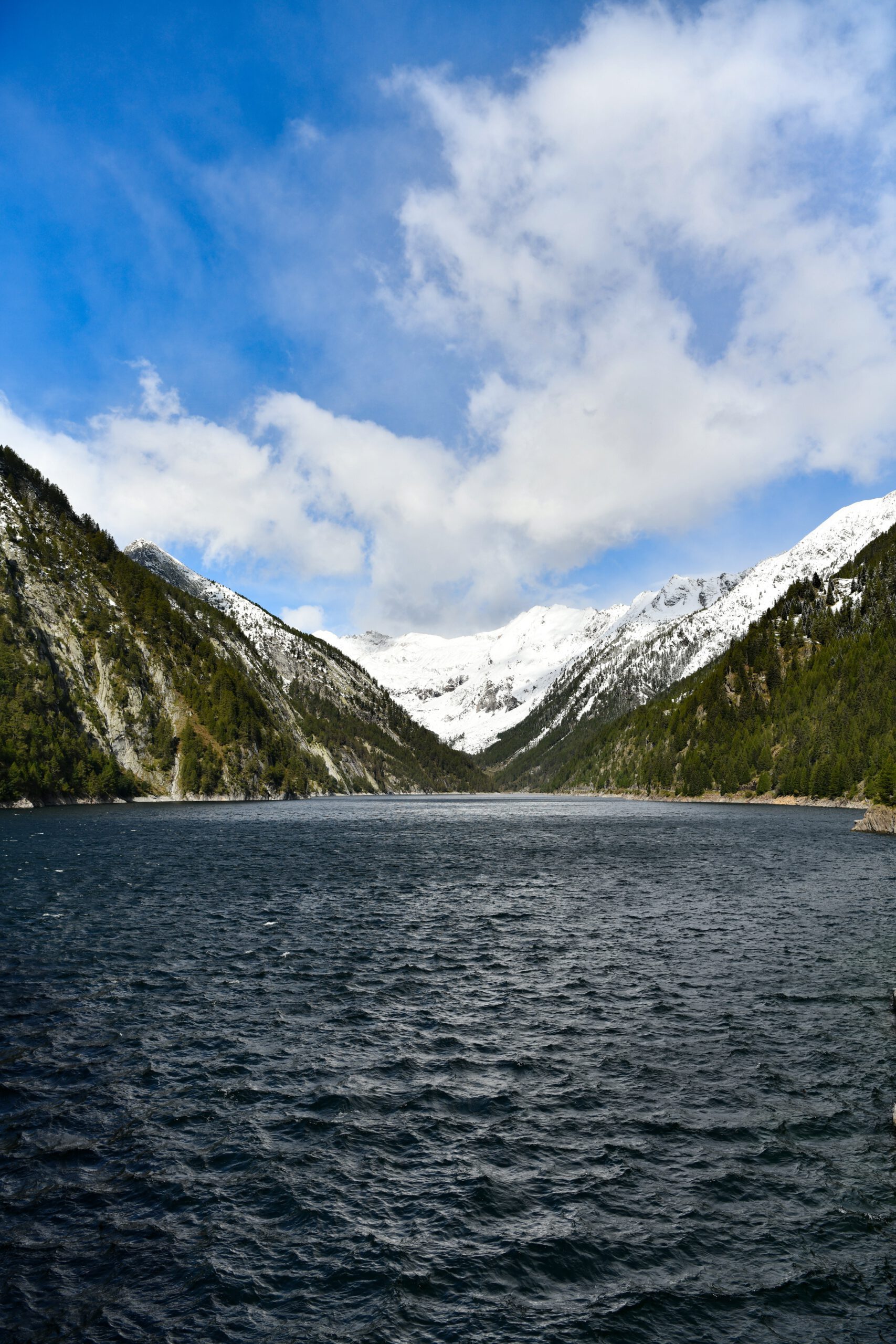
Having conquered the toughest part of the climb, the reward is also satisfactory. The view at the dam is insanely beautiful. Because it is such a well-kept secret, you usually have few allies at this altitude. If they are there at all, they have often received motor assistance. What is important to mention: normally at every summit there is a restaurant or something resembling an alpine hut. Not so here. So make sure you have enough gear with you. Fusio is the last opportunity to refuel, so keep that in mind! Otherwise you really will come home from a cold start.
Descent is also narrow
What goes up, most go down. In this case, literally. The first six kilometres of the descent are winding and very narrow. Be extra careful here, as the asphalt is not of the very best quality. So also take the time possibly to have lunch or something to eat in the many hamlets you encounter. In the end, you're over 120 kilometres on the road and that's not nothing.