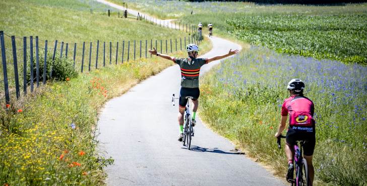
The Fichtelgebirge in northern Bavaria is rolling out a complete mountain bike trail network of 450 kilometres. The routes are already available digitally, signage will follow before spring 2026. The basis is the Horseshoetrail, a 170-kilometre round that connects the entire region. Around it are ten rounds of 15 to 50 kilometres, for both beginners and experienced riders.
Horseshoes Trail - 170km
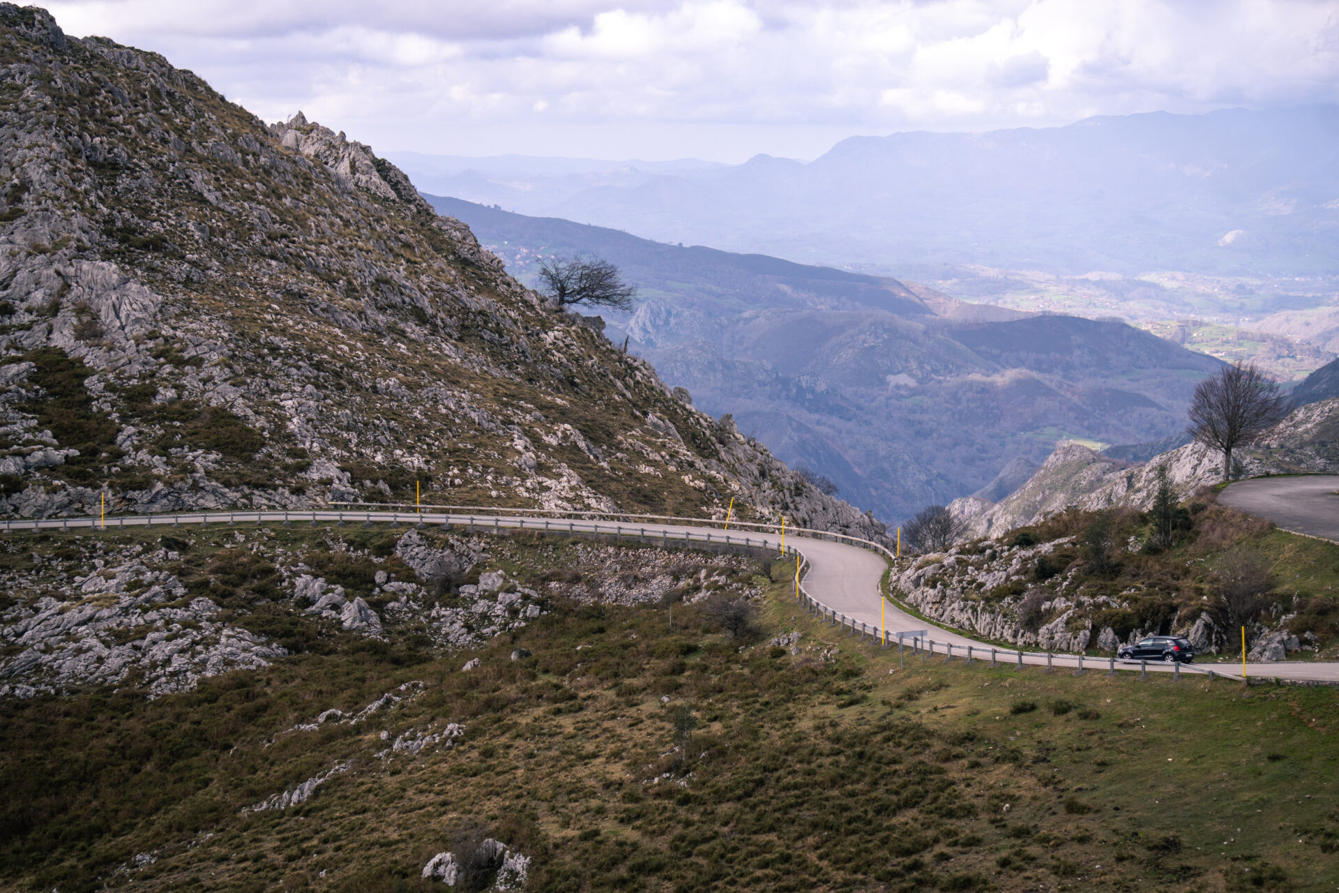
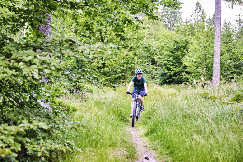
The Fichtelgebirge naturally forms a horseshoe shape, with peaks above 1,000 metres. That's where the main route gets its name from. The Horseshoetrail leads you in one grand tour through the most beautiful parts of the region, from the Felsenlabyrinth Luisenburg to the Erika-Fuchs-Haus (a comic book museum, yes really). The trail share is high: narrow paths, technical sections, forest and rocks.
In addition, there are 10 shorter rounds, digitally mapped out, each with its own character. An example: the Schneeberg Tour (73.9km, 1,931 altimeters) picks up the highest peaks, the Ochsenkopf and the Schneeberg. There are also rounds of 15km for those who want to take it easy or travel with mixed levels.
Digital first
By the way, should you be looking for route signs: they are not there yet. They will be installed before spring 2026. Until then, you will have to rely on digital navigation, something we actually do by default. All routes are already integrated in the planning platforms and linked to public transport. Bus line 369 has bike carriers on board from May to October. Handy for point-to-point rides, or if you break down so much you have nowhere to go.
There is also something extra for cyclists: because of the digital first approach, there is a monitoring system that records usage per route: how busy, which direction, which type of user. That information is shared with visitors.
Specifically, you can check before your ride whether a route is crowded with other route users (such as walkers and cyclists), and choose an alternative round trip.
Trailpaths and hotline - hassle-free maintenance
For maintenance, the region works with so-called Trailpaths: experienced mountain bikers who check fixed sections of trail and report damage or obstacles through a digital hotline, the Mängelmelder. Say: an app that doesn't let a fallen tree stay on your line for weeks.
The entire network was developed in cooperation with landowners, nature conservation organisations, hiking associations and municipalities. Funded through the Bavarian programme Heimat.digital.regional, with a grant of €270,000 covering 90% of the three-year project costs. Ferdinand Reb, director of the Tourismuszentrale Fichtelgebirge, said, “If the resident feels comfortable here, the guest will also feel welcome.”
What about gravel?
To be fair: the 450km network is singletrail. Narrow, technical, mountain bike terrain. With a gravel bike, you are out of place there on most sections.
But it Fichtelgebirge also has an extensive network of wider forest paths and river valley routes that can be ridden on gravel. The Main-Saale-Radweg (24.3km) runs over fine gravel with low gradients. The Wallenstein-Radwanderweg follows the river valleys of the Kösseine, Röslau and Eger rivers, ideal for longer gravel rides without technical hassle. During the regional Bike-Zukunftswerkstatt (a kind of future workshop for cycling), gravel was explicitly on the agenda, including sessions on quality requirements for cycling accommodations. So the region is consciously thinking about it.
The region was previously known mainly as a hiking destination. Earlier, we had articles on beautiful Bayern Bavaria. Then take a look below. or check out our Cycling in Bavaria page.
Overview of routes
| Route | Distance | Character |
|---|---|---|
| Horseshoetrail | 170 km | Main round throughout the region, high trail share |
| Schneeberg Tour | 73.9 km | Heavy, 1,931hm, past the highest peaks |
| Regional rounds (10x) | 15-50 km | Varying level, digitally plotted |
| Ochsenkopf Downhill | 2.1 km | Downhill, 300hm drop, rock gardens |
| Main-Saale-Radweg | 24.3 km | Fine gravel, low slopes, gravel-suitable |
When to go?
Digital routes are already available now. Signage will be installed before spring 2026. The bus with bike racks runs from May to October. So those who want to follow the signs will have to wait a while. Those who rely on GPX can plan now. Here you can find the link to the routes. We will soon be exploring ourselves ind e region!
Have you been to the Fichtelgebirge been, on the MTB or gravel bike? And do you know a good basecamp where your bike is safe? We'd love to hear about it!